
On October 12, the KAO looks at Jupiter once again to measure infrared radiation from the giant planet and its four large moons. Jupiter is bright enough to be visible in the daytime for this afternoon observing run.
Using data from the original flight plan developed several months
ago, you can practice plotting the course of the KAO as it observes
Jupiter. (Be prepared to update the times!)
| Activity | UT | Local Time | Latitude | Longitude |
| Departure from Ames Research Center | 14:40 | _________ | 37(deg)25'N | 122(deg)3'W |
| Begin Jupiter Observing | 19:18 | _________ | 28(deg)23'N | 83(deg)3'W |
| End Jupiter Observing | 20:38 | _________ | 25(deg)7' N | 91(deg)39'W |
| Arrive in Houston, Ellington AFB | 21:30 | _________ | 30(deg)0'N | 95(deg)0'W |
If you have on-line access, you should be able to get direct flight data updated every five minutes.
Times will be given in Universal Time. Astronomers, astronauts, and navigators all use Universal Time so that they can easily compare locations and observations across time zones. Universal Time is the time along the 0(deg) meridian of longitude, which runs through Greenwich, England. A blank is left on the table for you to convert UT to your local time. (To change UT to Eastern Daylight Time, subtract 4 hours. To change UT to Central Daylight Time, subtract 5 hours. To change UT to Mountain Daylight Time, subtract 6 hours. To change UT to Pacific Daylight Time, subtract 7 hours. Subtract an additional hour to convert from Daylight Time to Standard Time.)
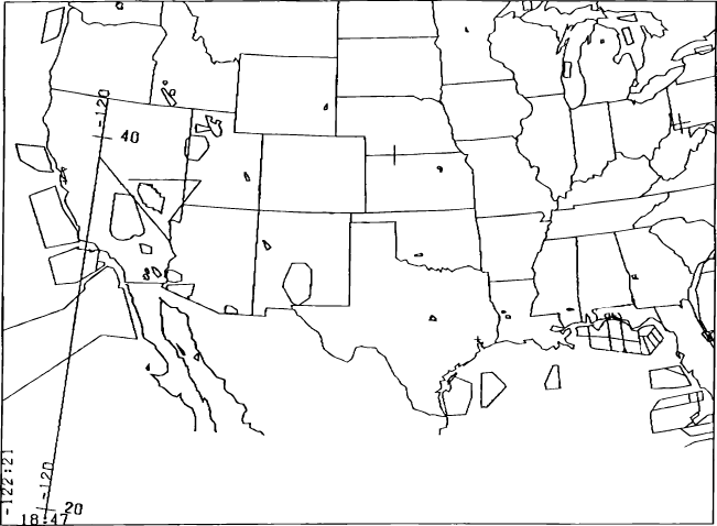
Using the longitude and latitude coordinates find each location on an atlas. Then plot the locations on the map. At the end of the flight, calculate the total ground miles covered, and the average speed.
The KAO will observe five objects during the night of Oct. 13-14. From the initial flight plan, you can discover where the KAO will be during each observing leg. Use an atlas to find each location and then mark it on the map below.
Then convert the UT times to local time following the procedure
in activity 2E. By subtracting the times from one object to the
next, you can find the time allocated for observing each object.
Using the distance, you can also calculate the KAO's speed.
| Event | UT | Local Time | Plane Location Latitude | Obj.Elevation Longitude | Distance (naut. mi.) | Begin | End |
| Departure Houston | 0:10 | ________ | 30(deg)00'N | 95(deg)00'W | |||
| Observing M17 | 0:37 | ________ | 30(deg)30'N | 98(deg)01'W | 40(deg).2 | 32(deg).8 | 426.1nm |
| Observing W51 | 1:47/td> | ________ | 34(deg)14'N | 105(deg)09'W | 67(deg).4 | 58(deg).1 | 402.5nm |
| Observing M57 | 2:52 | ________ | 39(deg)13'N | 110(deg)16'W | 64(deg).3 | 55(deg).1 | 401.0nm |
| Observing Saturn | 3:39 | ________ | 44(deg)17'N | 110(deg)47'W | 34(deg).4 | 39(deg).6 | 364.1nm |
| Observing M33 | 4:40 | ________ | 41(deg)19'N | 117(deg)46'W | 49(deg).6 | 56(deg).6 | 233.4nm |
| End Observing | 5:16 | ________ | 37(deg)21'N | 117(deg)31'W | |||
| Arrival Ames | 5:52 | ________ | 37(deg)25'N | 122(deg)03'W |
The object elevation tells how high the target will be above the
horizon. An object on the horizon has an elevation of 0(deg).
An object that is directly overhead is 90(deg). Some objects rise
as the KAO observes them. Others set lower in the sky. The KAO
telescope looks out the left side of the airplane. Figure out
which direction the KAO telescope is pointing from the airplane's
path. What is the relationship between the direction the telescope
points and whether the astronomical object is rising or setting?
![]()