DATA
acquired as a result of "our" three orbits
Take a look at the LHST images acquired as a result of the Passport to Knowledge observations:
Orbit 1: Pluto
Initial images
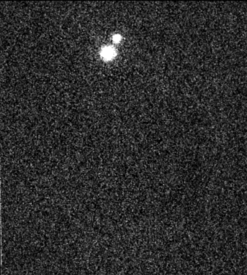
The raw images of Pluto and Charon
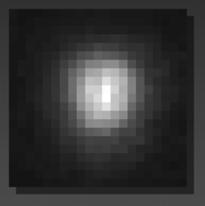
A close-up of Pluto
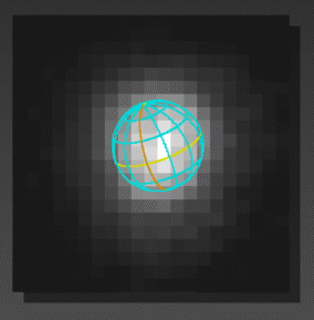
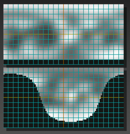
Pluto image with a latitude and longitude grid
for orientation of the pluto image. (The yellow line is the equator of Pluto)
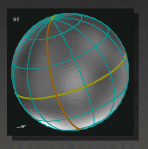
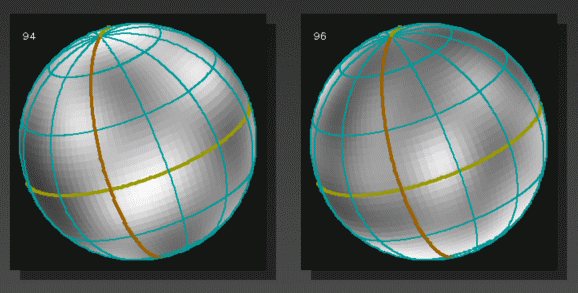
The 1996 map image
A side-by-side comparison
of the 1996 to the 1994 map images wrapped onto a globe
The new "modified" map against the l994 map
(at the top is 1994, at bottom "our" images, 1996)
A detailed description
of Marc Buie's analysis of these images
Orbit 2: First orbit for Neptune observation
Initial images
Orbit 3: Second orbit for Neptune observation
Initial images
All images of both orbits
seen in side-by-side comparison
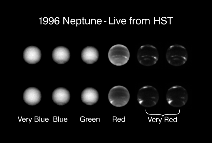
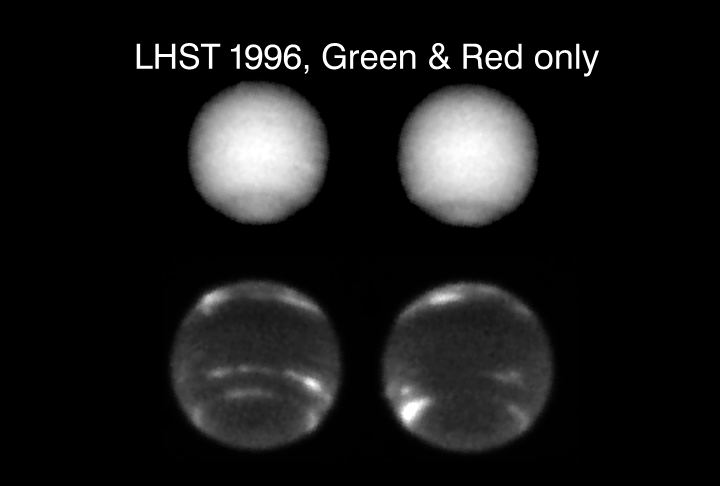
1996 LFHST two orbits
green and red filter images side-by-side
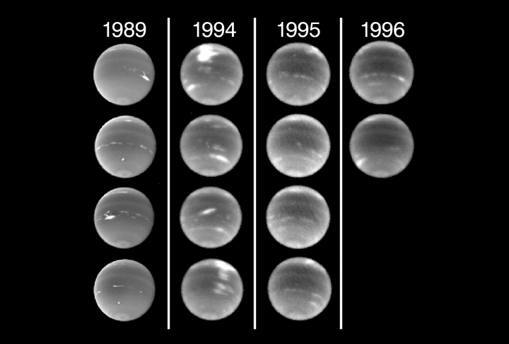
1989, 1994, 1995 and 1996
in side-by-side comparison.
Seen individually:
Orbit 1: Pluto
plutouv.gif
image in ultraviolet (2780 Angstroms)
plutovis.gif
image in visible (blue 4100 Angstroms)
Orbit 2: Neptune
neptune201.gif
(blue 4100 Angstroms)
neptune202.gif
(fairly blue 4670 Angstroms)
neptune203.gif
(green 5470 Angstroms)
neptune204.gif
(red "methane-band" images 6190 Angstroms)
neptune205.gif
(red "methane-band" images 8890 Angstroms)
neptune206.gif
(red "methane-band" images 8890 Angstroms)
Orbit 3: Neptune
neptune301.gif
(blue 4100 Angstroms)
neptune302.gif
(fairly blue 4670 Angstroms)
neptune303.gif
(green 5470 Angstroms)
neptune304.gif
(red "methane-band" images 6190 Angstroms)
neptune305.gif
(red "methane-band" images 8890 Angstroms)
neptune306.gif
(red "methane-band" images 8890 Angstroms)

